
Speed Awareness Monitoring (SAM)
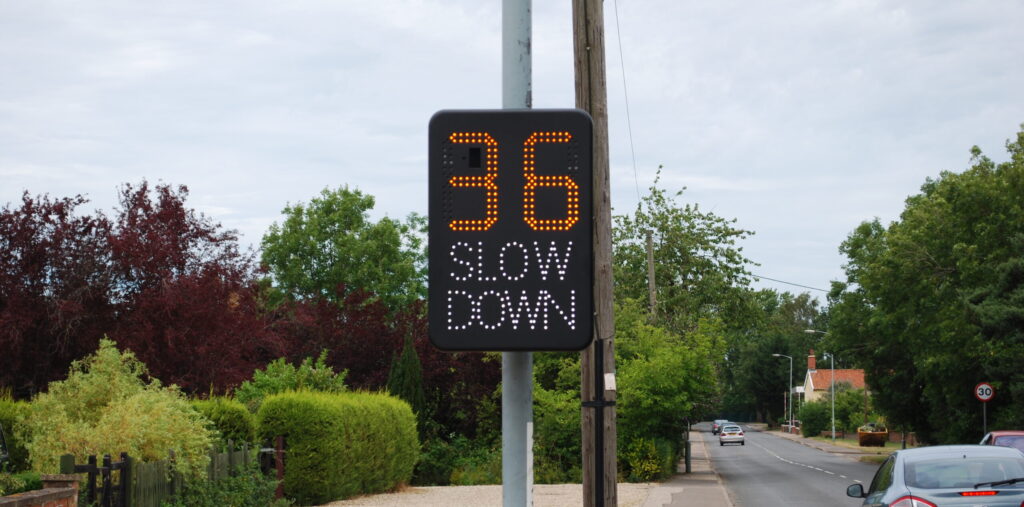
In response to community concerns regarding speeding in the village the Parish Council purchased a SAM2 vehicle activated sign in 2015. The Sign has been upgraded to incorporate a data module and record speed and date/time data (not registrations or any other specific details that would identify vehicles or drivers) to make fuller use of it and produce evidence to support perceptions.
This new tool will enable the council to analyse data and over time build a picture of where speeding occurs and when there are patterns. This will be used to inform the Norfolk Constabulary and NCC Road Safety partnership so that the issues can be focused on with evidence.
Ultimately this is about safety for the community. Remember even a few mph makes a difference; braking from 32mph would mean you would still be travelling at about 11mph when you hit child at the recognised 23m(75ft) braking distance for 30mph, increase that speed to 35mph and you hit that child 23m away at 18mph… a few mph won’t get you home or to work much quicker but it could save serious injury or death and a life-time of regret. Most accidents happen near home, so we can do our bit whilst also targeting commercial and visitor traffic.
What does the 85th percentile mean?
The Schedule for deployment in the village.
Latest Data
Site 9 Westgate facing PFNew Rd facing the Warren Dec 23
Lynn Rd facing the Green Nov 23
Westgate Rd facing Lynn Oct 23
The Green Facing Lynn site 13 Aug 23
The Green facing Marham Feb 23
Norwich Rd facing Marham Jan 23
Eastgate St facing the Playing Field Nov 22
Westgate Street facing Lynn Rd Oct 22
Norwich Rd facing Marham Aug 22